
 |
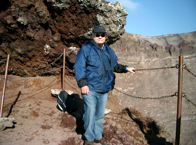
| HERCULANEUM - For years I've wanted
to climb that infamously famous volcano Mount Vesuvius. Kept
putting it off waiting for the next tomorrow. Finally today,
Saturday, I just jumped in the car and took off from Avellino
to find how to get to the crater rim. I had no idea since I never
really checked into it. I first approached Vesuvius from the
north side at Somma Vesuviana. But that road took me only as
far up as a very small village called S.M. di Castello, a good
ways from the top yet. I asked an elder gentleman who stood by
the roadside. He responded in a very warm and polite manner saying
that the only way up was at Herculaneum which is located at the
southwest base. So, I drove around to Herculaneum and started
finding my way up. I was thinking that if this road takes me
all the way up to the rim it would be a piece of cake. But, as
life would have it, luck isn't a perfect thing either. After several miles of esses and esses I arrived at the Vesuvius Observatory. I thought this might be the top of the crater. After visiting the observatory and chatting with the resident geologist I discovered that I would have to keep driving on higher as the observatory is located below the rim. |
|
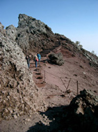
So, up, up and away. Esses and
esses and esses all the livelong day. Finally there was a parking
area with attendants. I asked if I would be able to drive up
to the crater. The young man looked at me like I was nuts and
said courteously, "No, sir. You'll need to park here and
walk up the rest of the way." |
 |
|
Footnotes: It wasn't a matter of just Pompeii and Herculaneum. In fact, in 2002, while the foundation for a new supermarket was being laid, a Bronze Age settlement was discovered near Nola that was buried by Vesuvius eruptions almost 1,000 years prior to the Pompeii event. Remains of different huts emerged and many ceramic artifacts were uncovered. The village of Via Polveriera was sealed by a Vesuvius eruption that occurred during the Bronze Age, between the XIX and the XVII century B.C. Excavations uncovered three large huts oriented in NW-SE azimuths, at the edge of an area where an immense urn, some ovens, a clay and wood cage in which 9 goat skeletons were found, all pregnant. There was a stable-like structure where other animals were housed, as indicated by the hoof imprints in the ground. This was a unique archaeological find particularly because
a thick deposit of muddy ash covered and sealed the settlement
as it stood, literally cementing it all together in place. The
huts were in the shape of horseshoes with an opening at the center
of one of the long sides and built of wooden poles. The inside
was divided into two spaces. The largest hut measured 15,60 x
4,60 m with a height of 4,40 m. The other two huts are slightly
smaller. |
 |
  |
© Copyright 2006 Raul Botello Jr.